Which products and categories are currently selling well in the sports and outdoor market? What trends are retailers focusing on for spring and summer of 2026? The new spring/summer 2026 order process is in full swing. We spoke with representatives from industry leaders Sport2000, Intersport, Bergfreunde, and Bergzeit about their upcoming trends.
As the international flagship event of the global sports industry, ISPO offers orientation and provides insights into the latest trends. The free ISPO Retail Club 2025 enables retailers to network with industry experts and offers year-round access to exclusive market insights for your competitive advantage. Discover the latest trends live on site - from 30 NOV. - 02. DEC. in Munich.
Want to know what the future of retail looks like?
With the help of the free Retail Club at ISPO 2025, you will receive exclusive market insights and relevant industry data all year round. The Retail Club also offers access to top retailers, curated matchmaking and valuable business connections.
Straight to the trends:
- Shoes, Running Gear, Pants, and Padel
- Multifunctional and Adaptable Products
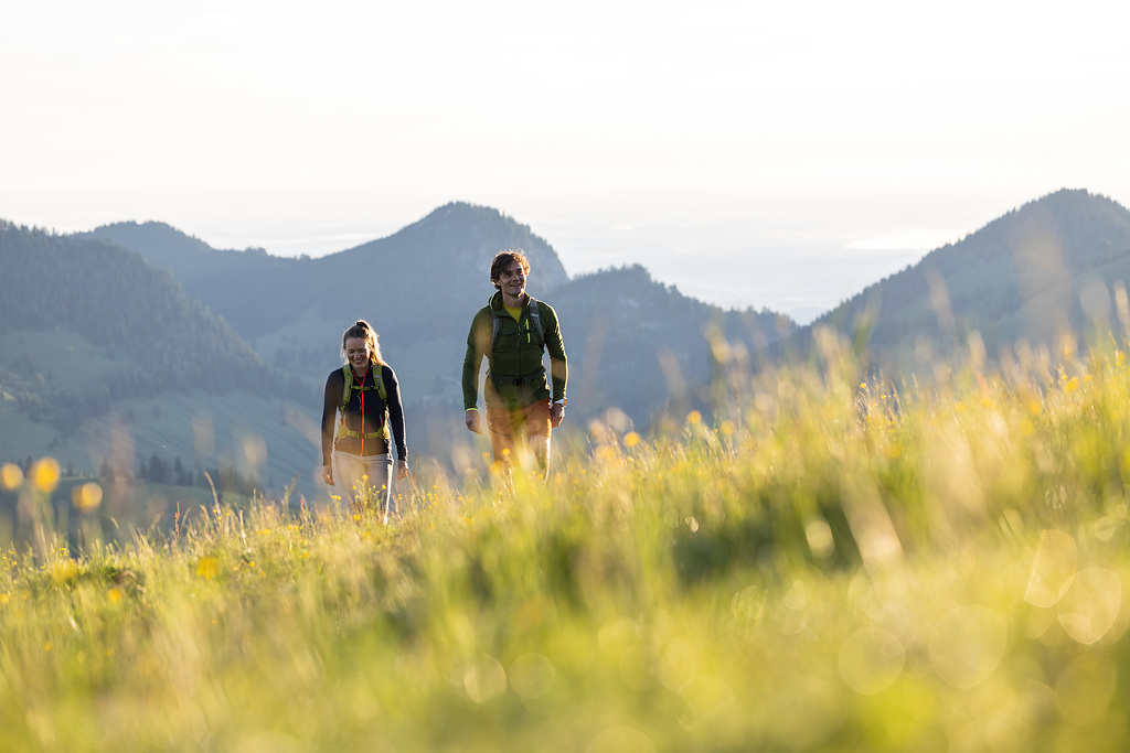
- Running & Trail Running
- Outdoor & Lifestyle Growth
- Sustainability as Standard
- UV Protection & Lightness
- Community Sports on the Rise
Current retail bestsellers: shoes, running gear, pants, and padel
"We are currently seeing strong growth in several areas. Shoes are particularly noteworthy, especially trail and running models, as well as multifunctional and lightweight hiking boots." Michael Vieweger, Head of Buying, Bergfreunde"In the textile sector, we are seeing growth particularly in pants, ranging from highly functional hiking pants to versatile cotton pants." Christl Haigermoser, Chief Buying Officer, Bergzeit
"At our partners' points of sale, the running (+21 percent), bike (+20 percent), and sports style (+16 percent) categories performed particularly well in May. The outdoor category is also already benefiting from the current conditions, recording a healthy increase of 12 percent." Margit Gosau, Managing Director Sport 2000 GmbH & CEO Sport 2000 International
"Racket sports, such as padel, are experiencing a boom. They are easily accessible, promote community spirit, and appeal to a wide age group. Germany, for example, is now one of the fastest-growing markets for padel." Henriette Tesch, COO Intersport Germany
Padel Growth & Trends 2025: Opportunities for the sports business
Continuing on course for growth, we offer multifunctional and adaptable products
"In clothing, we are seeing strong demand for versatile items. Whether for travel, multi-day tours, or short mountain sports trips, people want to buy fewer high-quality, environmentally friendly, and durable items that they can then sell to secondhand retailers, such as Bergzeit RE-USE, when they no longer need them." Christl Haigermoser, Chief Buying Officer, Bergzeit"Multifunctional products for different sports and everyday situations are in higher demand than ever. We recommend that retailers offer an adaptable product range, i.e., always have multifunctional, modular products available. Rather than strict seasonal categorization, the range can be designed for transitional periods." Margit Gosau, Managing Director Sport 2000 GmbH & CEO Sport 2000 International
Several current developments suggest that multifunctional and versatile products align with the times. As weather becomes increasingly unpredictable and consumer behavior changes, investing in flexible product ranges that remain relevant for a longer period of time makes sense. Additionally, many consumers have become more conscious, critically questioning consumption. Many people pay attention to whether they can use products in a variety of ways or if they will mainly sit in a closet unused. Additionally, today's sports enthusiasts often participate in multiple sports, such as running and cycling, and don't want to buy a different outfit for each one. The same is true for newcomers to sports who want to try out different sports to see which one suits them best.
Want to be the first to hear about the latest trends?
Then subscribe to our free newsletter now and receive exclusive insights for your competitive advantage.
High margins: Running and trail running remain top categories, cycling is recovering
"We see growing potential in running, biking, lifestyle, and camping." Christl Haigermoser, Chief Buying Officer, Bergzeit"Trail running and speed hiking are very popular because they combine the experience of nature with a sporting challenge. They primarily appeal to younger, active target groups." Henriette Tesch, COO Intersport Germany
"In the performance sector, trail running is also becoming increasingly important." Margit Gosau, Managing Director Sport 2000 GmbH & CEO Sport 2000 International
"Fortunately, the bike sector is back on track for significant growth." Michael Vieweger, Head of Buying, Bergfreunde
Running has been one of the top performers in sports retail for years. Excellent quarterly figures from brands such as Asics, Hoka, and Merrell speak for themselves. Above all, however, running has become a lifestyle. It is the new streetwear, and the segment is currently tapping into a new target group: young, style-conscious, and often urban. Running clubs are popping up everywhere. Collaborations such as Patta x Nike and Merrell x Janji, as well as new brands like 4T2 from the Netherlands and Bandit from the US, are revitalizing the market.
The athleisure trend: what it is and why it's here to stay
Outdoor as a lifestyle: outdoor fashion and equipment for micro-adventures are growing
"The outdoor equipment sector is growing steadily, driven by products such as backpacks and tents." Michael Vieweger, Head of Buying, Bergfreunde"In addition to the aforementioned topics, we are witnessing the rise of the micro-adventure trend and are catering to this demographic with an assortment of multifunctional footwear and versatile gear for short excursions." Christl Haigermoser, Chief Buying Officer, Bergzeit
Since the pandemic, van life and camping have experienced a real upswing, fueled by the search for authenticity and sustainability, the desire for inexpensive travel, and the opportunity for a digital detox. Additionally, mobile travel combines the freedom and thirst for adventure with the opportunity to spend extended periods of time in nature. This flexible and often more affordable vacation option appeals to younger generations, whose experiences are shared on social media. Influencers around the world share their experiences in nature, ranging from minimalist camping far from civilization to luxury camping with elaborate staging.
This has led to a growing demand for fashionable, lifestyle-oriented outdoor clothing. The distinction between everyday clothing and functional outdoor clothing is becoming increasingly blurred.
Outdoor meets fashion - 7 trends how gorpcore and mountaincore are influencing the sports industry
Sustainability: From trend topic to indispensable standard
"We have anchored sustainability in our purchasing. We aim to generate 80 percent of our sales with SBTI-certified suppliers (or similar) by next year. We are expanding our second-life range in a healthy way and tripled our RE-USE sales last year compared to the previous year." Christl Haigermoser, Chief Buying Officer, Bergzeit"The demand for functional and sustainable sportswear continues to grow." Margit Gosau, Managing Director Sport 2000 GmbH & CEO Sport 2000 International
While public interest in sustainability seems to be waning, this does not mean that the issue is becoming less important. On the contrary, many companies are becoming increasingly efficient and routine in pursuing their sustainability goals. The transformation is in full swing, especially in the outdoor industry, which has been a pioneer in this area for years.
Minimize environmental impact without compromising on performance
Future topics: heat protection, lightness, and even more functionality
"For spring/summer 2026, the focus is clearly on lightness and functionality, both in clothing and equipment." Michael Vieweger, Head of Buying, Bergfreunde"In the outdoor sector, UV protection is a prominent issue for almost all brands." Margit Gosau, Managing Director Sport 2000 GmbH & CEO Sport 2000 International
Functionality is the foundation of the sports and outdoor industry. This is why the industry and retailers view the changing climate around the world as both a challenge and an issue to address. Clothing that can adapt to changing weather conditions while providing more protection and comfort is becoming increasingly important. UV protection, cooling, and temperature-regulating high-tech fabrics are becoming increasingly important in summer collections. These fabrics are not only used in sports and outdoor clothing but also in the lifestyle sector.
7 trends that will shape retail
The social aspect of sport: sport is becoming increasingly important as a community builder
"Community sports are also booming in urban areas. Whether it's functional training in the park, urban running, or outdoor group training, exercise is becoming more social and visible in public." Henriette Tesch, COO Intersport Germany"We are seeing that indoor bouldering and climbing are attracting a wider audience. Young, health- and fitness-conscious people are interested in these sports, which is why shoes and clothing for bouldering and sport climbing are selling well for us." Christl Haigermoser, Chief Buying Officer, Bergzeit
The more digital, urban, and sedentary life becomes, the stronger the desire for physical and mental balance. Sports have always brought people together. In the past, this happened in traditional clubs, but today, it's happening more and more in informal running and biking clubs or community-oriented sports, such as bouldering. Many brands are also recognizing the potential of building communities whose members can meet in the brand's stores to train together, reach the next level of fitness, or simply have a good time.
Retail & Community: How retail brands integrate customer proximity into their success concept
The order trends for spring-summer 2026 show that multifunctionality and sustainability are becoming increasingly important in sports and outdoor retail. Products such as trail running and padel equipment as well as outdoor items for micro-adventures are becoming increasingly popular, while the focus on lightweight materials and UV protection is also growing. These developments offer companies new starting points for adapting their product range and addressing current consumer needs.
ISPO 2025 offers orientation in this regard: As an international flagship, ISPO provides in-depth insights into the latest trends. The free ISPO Retail Club 2025 gives retailers the opportunity to network with industry experts and gain access to exclusive market insights all year round. In addition, members benefit from a VIP treatment, including a free ticket and access to the exclusive Retail Club Lounge. Register now for the Retail Club and discover the latest trends live on site. From 30. NOV. - 02. DEC. in Munich.
Want to be the first to hear about the latest trends?
Then subscribe to our free newsletter now and receive exclusive insights for your competitive advantage.